
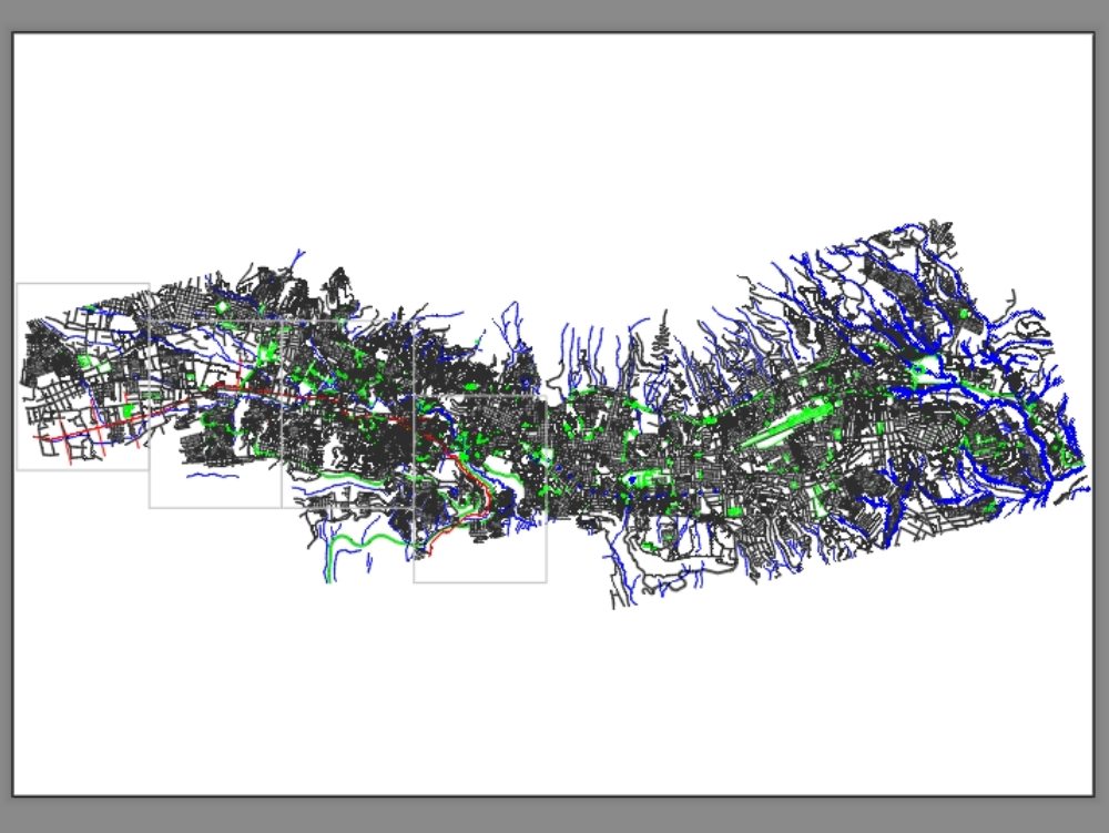
Two-dimensional representation of a city showing main streets, secondary streets, neighborhoods, tributaries, level elevations, and blocks.
Confirma el mail en Facebook e intenta nuevamente.
Confirma el mail en Google e intenta nuevamente.
Your account is inactive. To request a reactivation you can contact us by email atsoporte@bibliocad.com.
.")