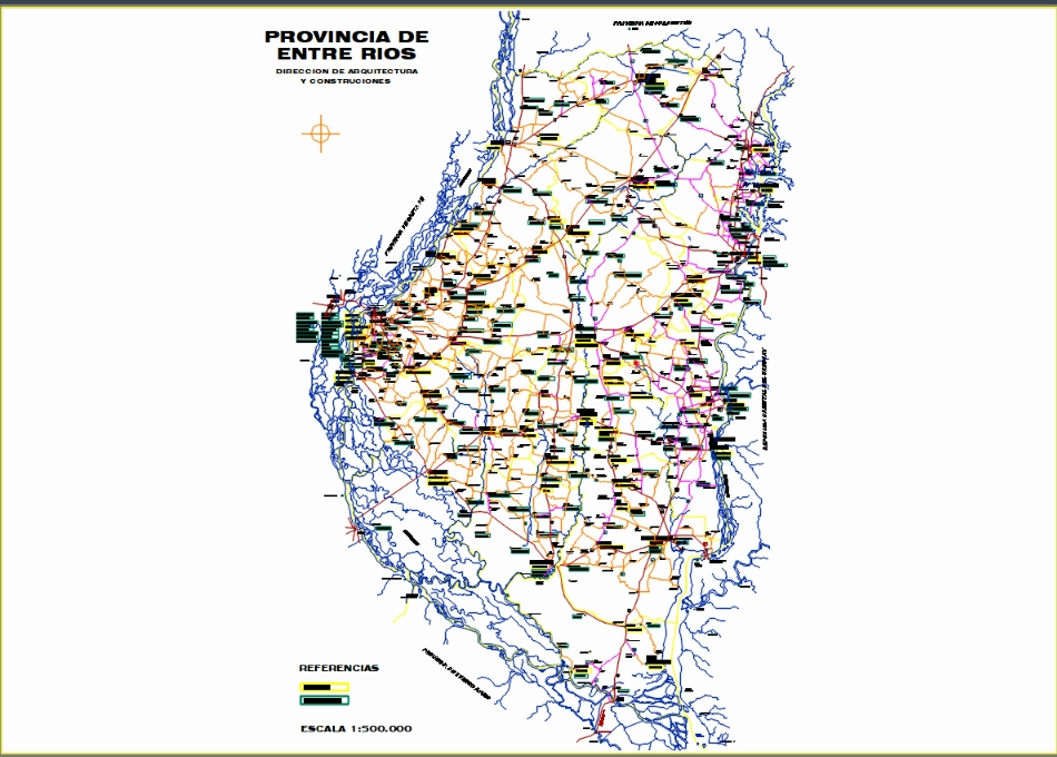
Political map of the province of entre ríos - argentina - with the location of national and provincial routes; hydrology; location of the main public hospitals and health centers in the province. source: architecture and construction management. esc. 1:500:00.

.")