
Plot plan of the current city of cusco dwg
.")
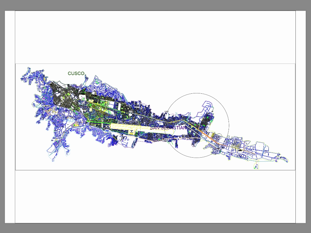
This file contains the land lot map of the city of cusco, which represents the land division and territorial organization of the different urban areas. the document shows the boundaries of each lot, built-up areas, and open areas, as well as the surrounding roads that articulate the urban layout. this map is extremely useful for planning, cadastral, and urban planning studies, as it allows for identifying property distribution, land use, and the relationship of lots to amenities, public spaces, and the city's heritage.