
Peru topography national level curves dwg
.")
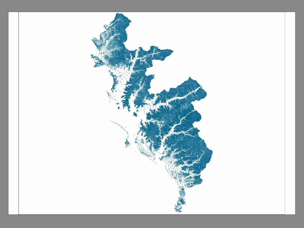
The "topography of peru; contour lines" file contains detailed geospatial information on the configuration of the peruvian relief, represented by contour lines. these lines indicate the altitude and slope of the terrain, allowing analysis of mountainous areas, valleys, and plains. it is useful for engineering studies, urban planning, agriculture, and environmental management. the file provides a precise basis for understanding the topographic diversity of the national territory.