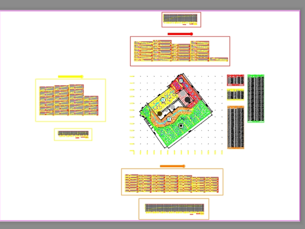
Altimetry dwg
↑ Scroll ↓
Development of altimetry with triangulation of a terrain. includes detail of contour lines and zoning, sections and charts of zones with references.
Cargando social...
Cargando report...
5.5kViews
Cargando tags...
Related works
By using this website, you agree to our Cookies policy.

