
Map of peru dwg
.")
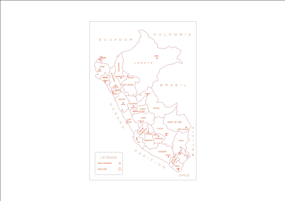
Map prepared according to geographic and climatic criteria. in it, the coast is represented by the warm and semi-warm areas of the western flank of the andes mountain range; similarly, the jungle is represented by the warm and semi-warm areas of the eastern flank of the andes; and the mountain range is made up of temperate to cold mountain areas. climatologically, this map has been developed in correspondence with the köppen-geiger climate classification.