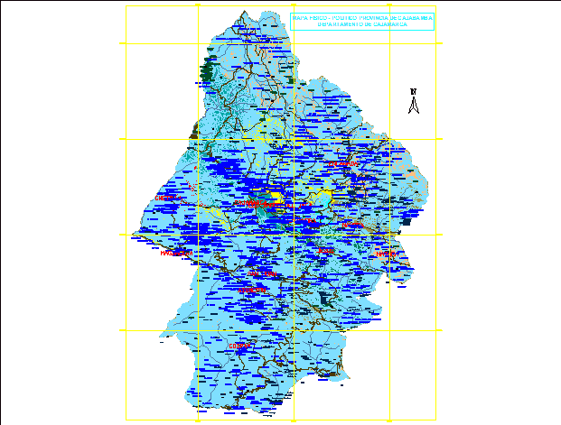
This plan is based on the national chart which has contour lines throughout the province of cajabamba. that helps us to see the topography of the place that would not help enough in the hydraulic structures.
Confirma el mail en Facebook e intenta nuevamente.
Confirma el mail en Google e intenta nuevamente.
Your account is inactive. To request a reactivation you can contact us by email atsoporte@bibliocad.com.

.")