It shows the contour lines of the cajamarca and san marcos basins; this can be used to determine existing watersheds and also for road design.
Confirma el mail en Facebook e intenta nuevamente.
Confirma el mail en Google e intenta nuevamente.
Your account is inactive. To request a reactivation you can contact us by email atsoporte@bibliocad.com.
 Deutsche
 English
 Español
 Français
 Portugues
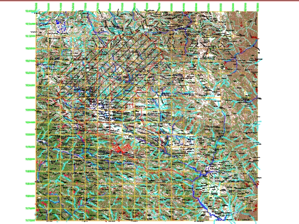
.")