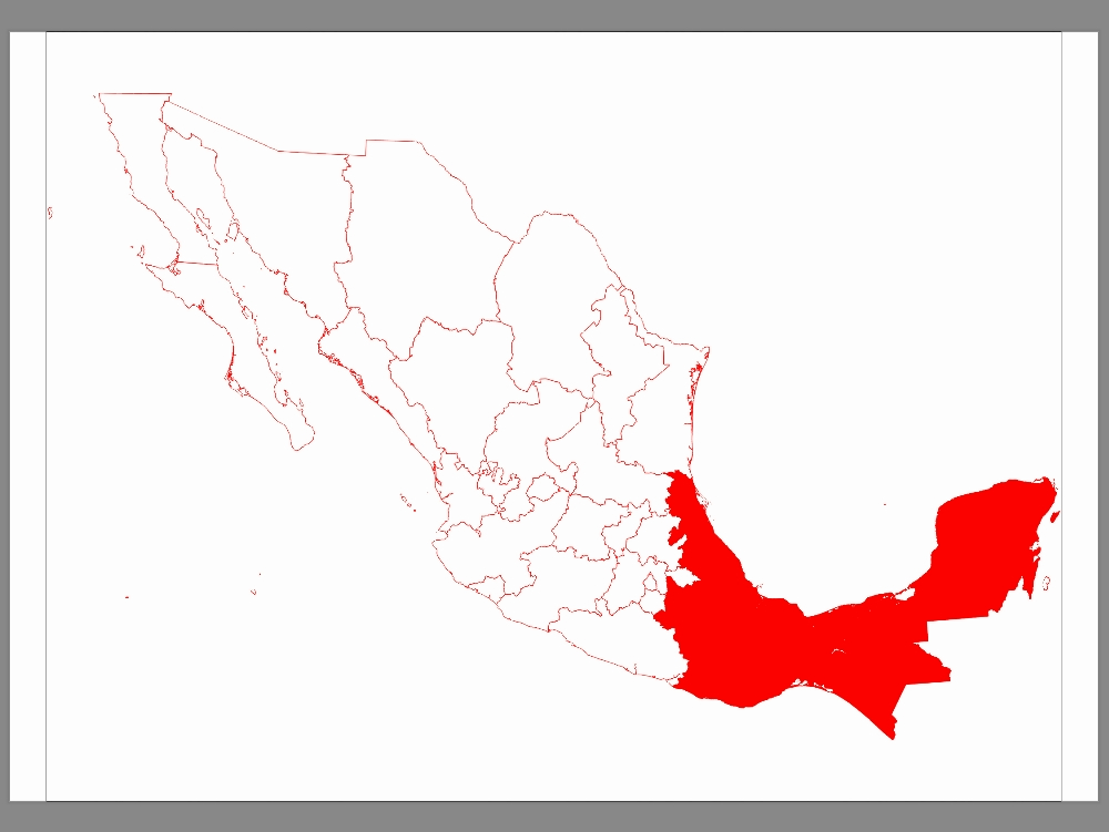
General map of the states of mexico dwg
↑ Scroll ↓
Cad file containing the cartographic representation of the state boundaries of mexican territory. it includes only state borders and boundaries; major rivers and bodies of water; and national islands. the information is structured without titles or text labels, ensuring a clean layout that can be used in territorial analysis and graphic representation projects. the cartographic database corresponds to the data published by conabio in 2018, ensuring accurate georeferencing and correspondence with official sources.
Cargando social...
Cargando report...
2kViews
Cargando tags...
Related works
By using this website, you agree to our Cookies policy.
