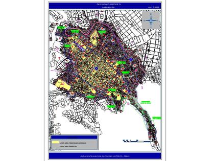
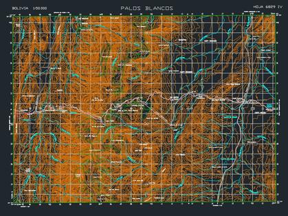
The following file contains the map of the municipality of cantel, with contour lines; .main roads; villages and populated places.
Confirma el mail en Facebook e intenta nuevamente.
Confirma el mail en Google e intenta nuevamente.
Your account is inactive. To request a reactivation you can contact us by email atsoporte@bibliocad.com.
 Deutsche
 English
 Español
 Français
 Portugues
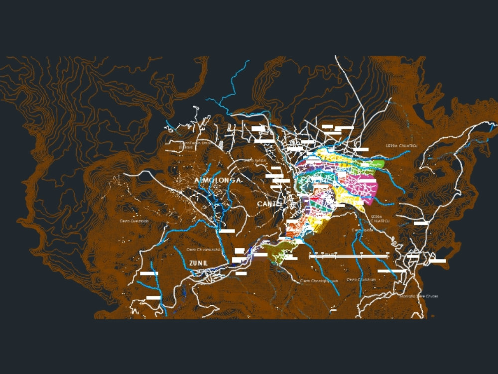
.")