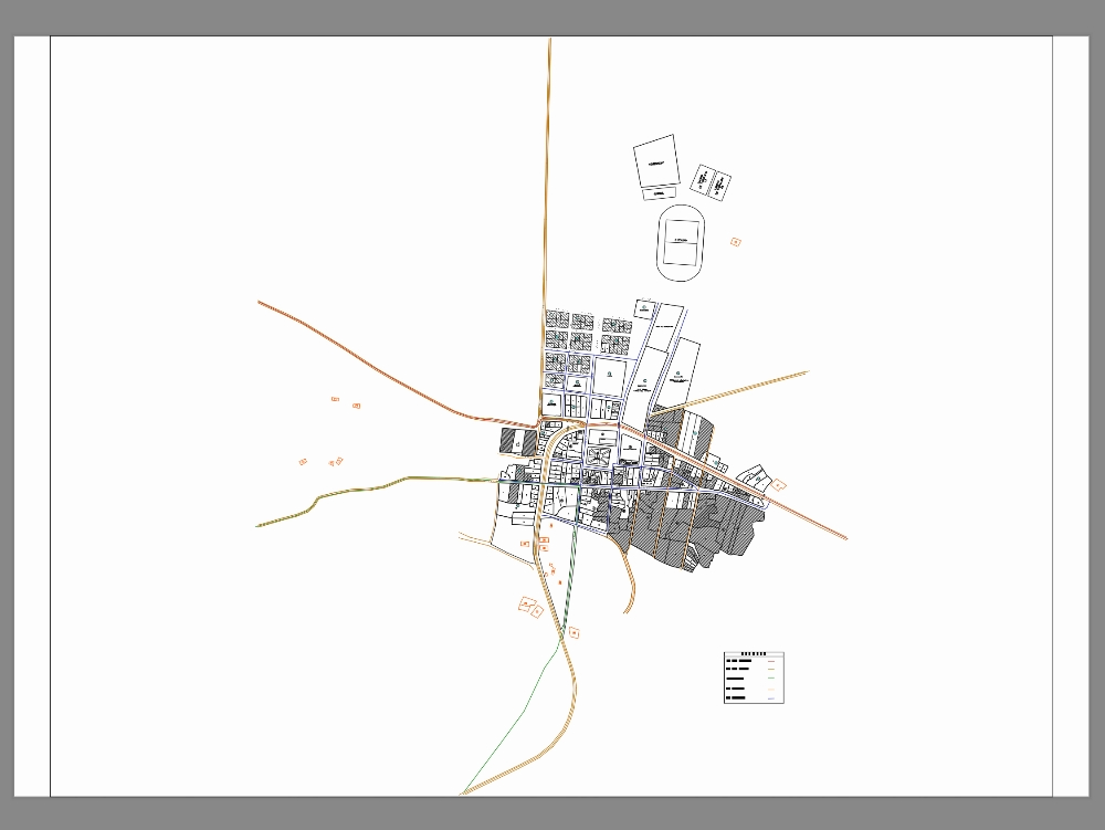
Complete cadastral map of the atuncolla district; includes blocks, lots, and main roads. dwg format compatible with autocad. ideal for urban planning, property regularization, municipal cadastre, and technical urban planning studies.
Confirma el mail en Facebook e intenta nuevamente.
Confirma el mail en Google e intenta nuevamente.
Your account is inactive. To request a reactivation you can contact us by email atsoporte@bibliocad.com.

.")