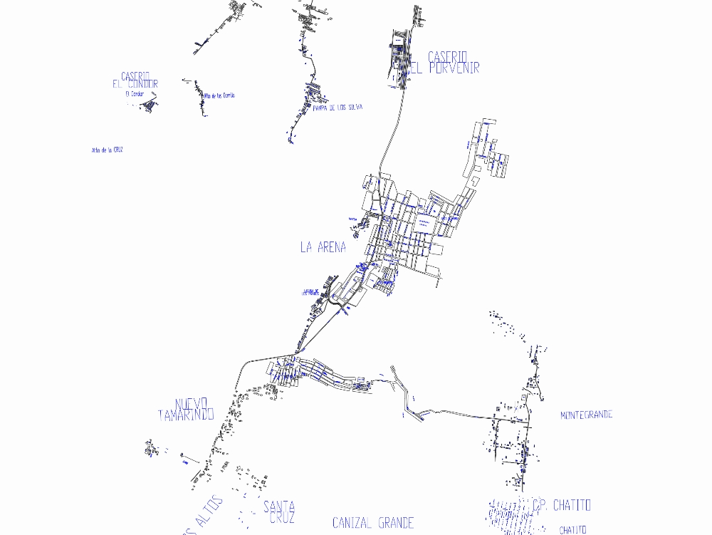
It contains the cadastral map of the arena district and some of its populated centers such as: hamlet el porvenir; pampa de los silva; cheek heights; new tamarind; two tall; santa cruz; large channel; chatito; and montegrande.
Confirma el mail en Facebook e intenta nuevamente.
Confirma el mail en Google e intenta nuevamente.
Your account is inactive. To request a reactivation you can contact us by email atsoporte@bibliocad.com.

.")