
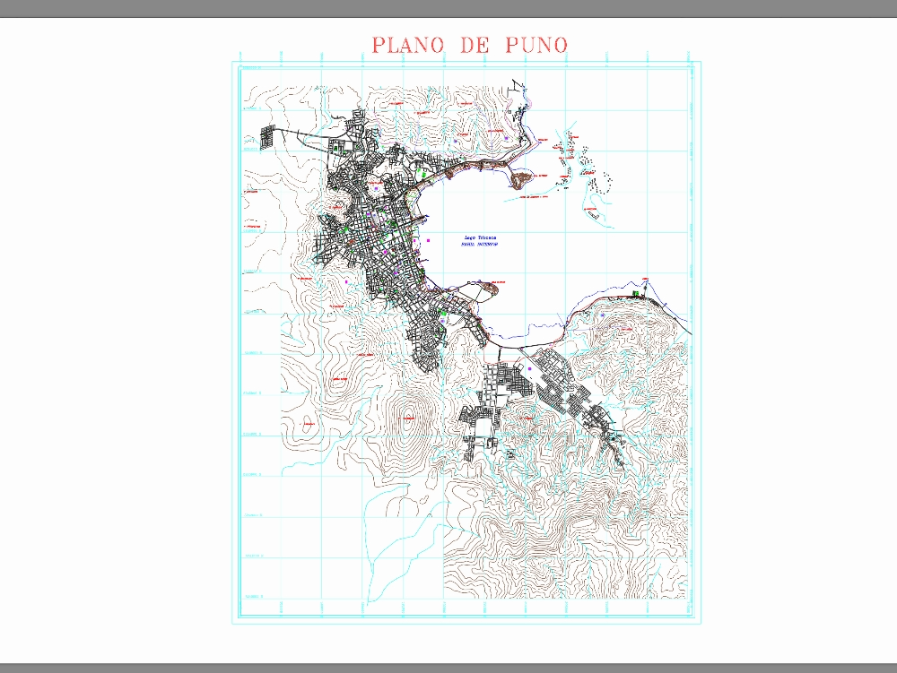
The cadastral map of the puno region is a technical document of great relevance for territorial management and urban and rural planning.
Confirma el mail en Facebook e intenta nuevamente.
Confirma el mail en Google e intenta nuevamente.
Your account is inactive. To request a reactivation you can contact us by email atsoporte@bibliocad.com.
.")