
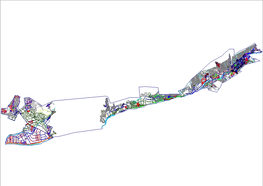
Cadastral map of lurigancho-chosica dwg
.")
This plan shows the urban layout of the district, with the precise delineation of blocks, lots, and main roads. residential, commercial, and industrial areas are represented, as well as green areas, urban amenities, and district boundaries. the road network shows hierarchies between avenues and secondary streets, allowing for an understanding of the territorial connectivity. topographical elements and nearby bodies of water that influence urban development are also distinguished.