Plan der provinz chachapoyas und bezirke - amazonas - peru
Confirma el mail en Facebook e intenta nuevamente.
Confirma el mail en Google e intenta nuevamente.
Ihr Konto ist inaktiv. Um es wieder zu aktivieren können Sie uns per Email kontaktieren:soporte@bibliocad.com.
 Deutsche
 English
 Español
 Français
 Portugues
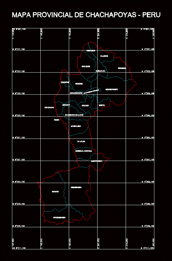
.")


