Stadtplanimetrie, die die bestehende landnutzung im bezirk miraflores bis zum jahr 2015 zeigt und die anzahl der grundstücke im bezirk, hauptstraßen und stadtteile identifiziert.
Confirma el mail en Facebook e intenta nuevamente.
Confirma el mail en Google e intenta nuevamente.
Ihr Konto ist inaktiv. Um es wieder zu aktivieren können Sie uns per Email kontaktieren:soporte@bibliocad.com.
 Deutsche
 English
 Español
 Français
 Portugues
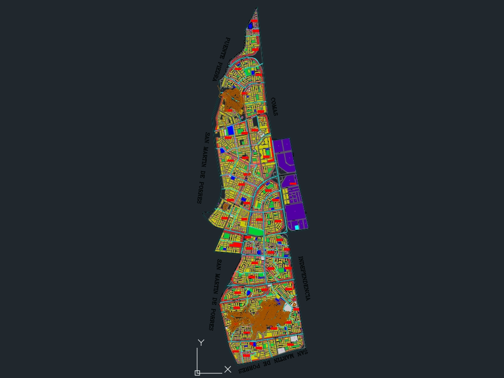
.")


