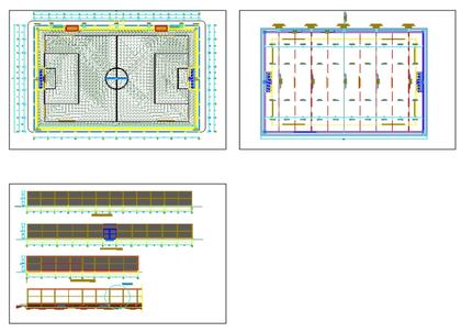
Planimetric topographic survey, presents a table of buildings; orientation; coordinates; reticle and among other parameters. shows details and specific dimensions of each building as well as their elevations represented in curves at every meter and master curve at every 5 meters
 Deutsche
 English
 Español
 Français
 Portugues
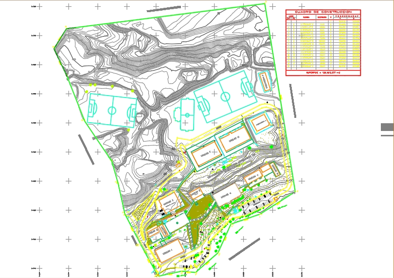
.")