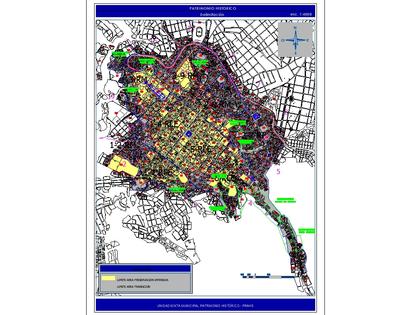
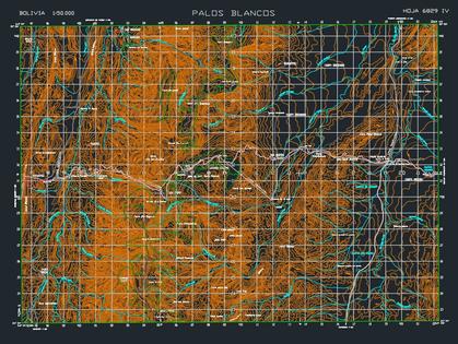
Representation of the world's geodetic network in 2d. it is a set of points located on the earth's surface in which their differential geographic position is determined through the use of gps receivers.
Confirma el mail en Facebook e intenta nuevamente.
Confirma el mail en Google e intenta nuevamente.
Your account is inactive. To request a reactivation you can contact us by email atsoporte@bibliocad.com.
 Deutsche
 English
 Español
 Français
 Portugues
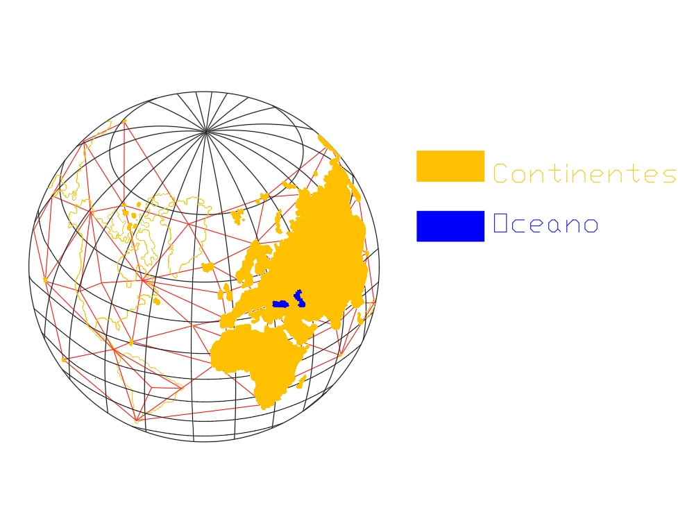
.")